


Our Construction Drone Services
At Stonehaven, we deliver advanced construction drone services, designed to transform how projects are monitored and managed. Whether you need drones for construction projects, construction site aerial photography, or drone construction monitoring, we support you with proactive planning and seamless execution across every phase of construction.
Our Construction Drone Services
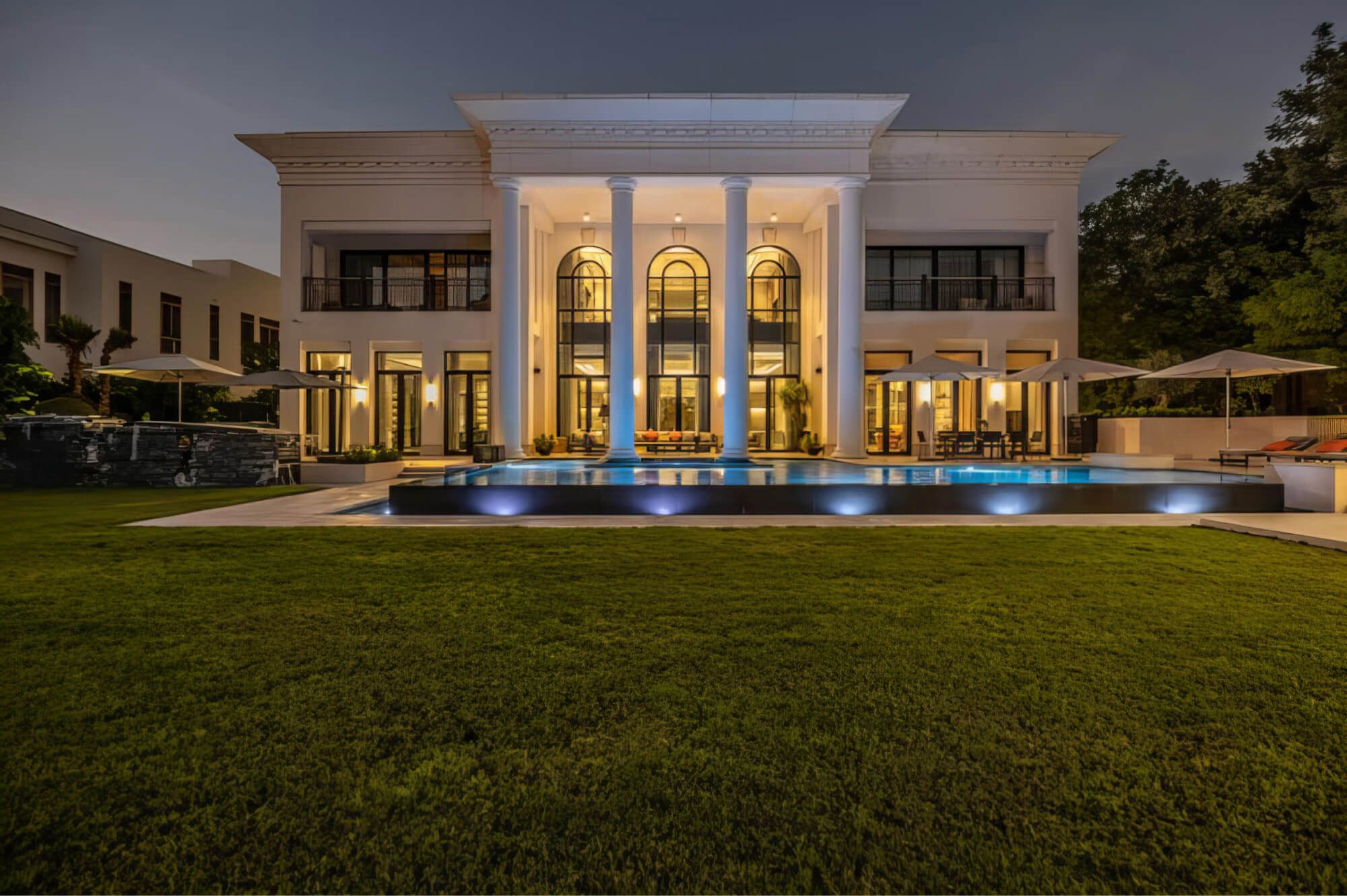
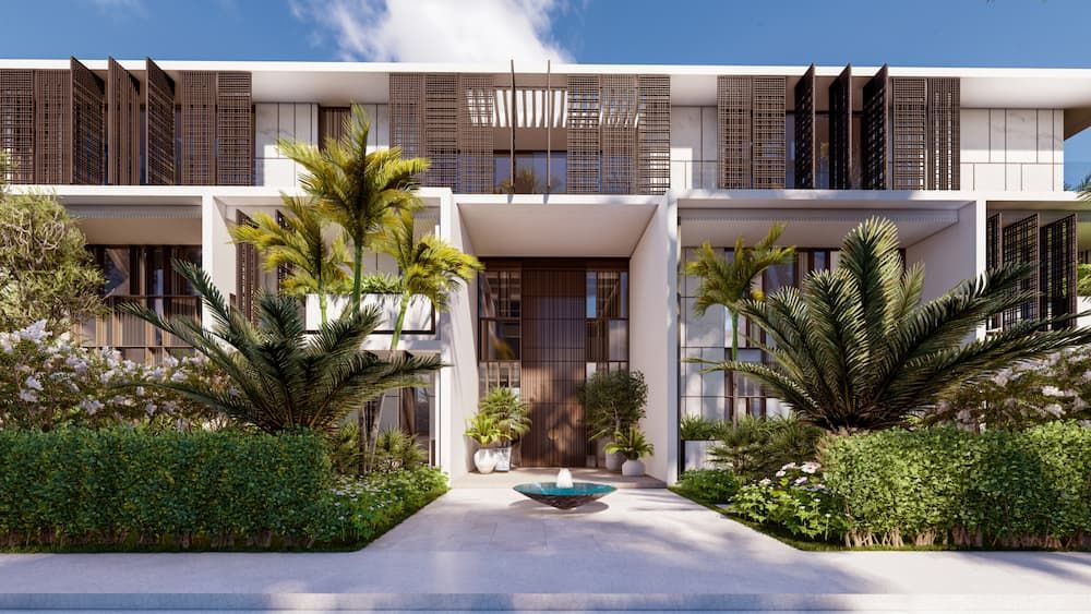
Whether it's assessing groundworks, monitoring structural progress, or delivering marketing-grade visuals, Stonehaven ensures every aerial capture serves a purpose: accuracy, safety, and clarity. Our services are ideal for construction projects ranging from commercial high-rises to residential developments and larger scale infrastructure.
Aerial Advantage
We use drone mapping to speed up site surveys by 80%, giving you real-time data and precision visuals to push projects forward.
Safer Inspections
We deploy drones to reduce the need for manual inspections, offering safer access to hard-to-reach areas without putting teams at risk.
Eyes Everywhere
Our drones log 100 times more safety observations than traditional methods driving compliance, on-site awareness and site security.
Better Site Records
86% of firms using drones report better documentation. We deliver through clear reporting, fewer delays, and faster approvals.
Hover, Track, and Monitor Smarter.
Ensure your project is on track right from the skies.
Frequently Asked Questions
What types of drones are used in construction?
Construction projects use multirotor, fixed-wing, and hybrid drones for aerial surveys, progress tracking, and inspections. Stonehaven uses these advanced drone technology to enhance accuracy and efficiency for your construction projects.
When are drones used in construction?
Drones support pre-construction surveys, active site monitoring, and post-construction assessments. They help capture terrain data, track work progress, and inspect completed structures. This allows for real-time updates and better decision-making across all project phases. Stonehaven deploys drones strategically to ensure precision and compliance.
How are drones used in construction work?
Drones assist in mapping sites, tracking construction progress, and conducting aerial inspections. They provide high-resolution imagery and 3D models for better project management. By reducing manual site inspections, they enhance safety and efficiency. Stonehaven integrates drone solutions to streamline workflows and prevent costly errors.
How are drones used in civil engineering?
Drones help civil engineers conduct land surveys, inspect infrastructure, and monitor environmental conditions. They improve accuracy in planning, design, and construction execution. Aerial data enables better decision-making and reduces project delays. Stonehaven uses drone technology to support your engineering teams with real-time insights.
How can drones be used to monitor the construction process?
Drones capture real-time site data through aerial images and 3D mapping. They track material movement, workforce activity, and construction milestones with precision. This improves project oversight and helps detect issues early. Stonehaven applies drone monitoring to keep your projects on schedule and within your budget.
How do drones help with aerial photography for construction progress?
Drones provide high-resolution images to document site changes over time. Aerial photography ensures accurate project tracking, client reporting, and stakeholder updates. These visuals help identify deviations from planned designs early. Stonehaven uses drone imagery to share precise construction progress reports with you.
How can drones be used for construction safety?
Drones improve safety by monitoring hazardous zones, detecting risks, and ensuring site compliance. They reduce the need for manual inspections in dangerous areas. In emergencies, drones provide rapid situational awareness for faster response. Stonehaven integrates drone safety solutions to maintain industry best practices and a safer site.
What is a drone-based volumetric survey?
A drone-based volumetric survey uses aerial drones to measure stockpiles, earthworks, and material volumes on construction sites. This method improves accuracy, efficiency, and cost estimation. Stonehaven uses volumetric drone surveys to support your resource planning and minimise waste.
Clients
Our customer portfolio includes prestigious brands spanning a wide range of sectors.


What Our Clients Are Saying

Adel Mardini
Founder & CEO, JETEX


Gozde Morera
Head of Baituti Home


Miguel Casal Ribeiro
Partner, Lissoni & Partners


Diane Thorsen
Design Principal Global Hospitality Lead, GENSLER


Qasim Mansoor
Chief Development Officer, R. Evolution
